
Fire. Safety.
Rescue.
More awareness.
Better decisions. A coordinated response.
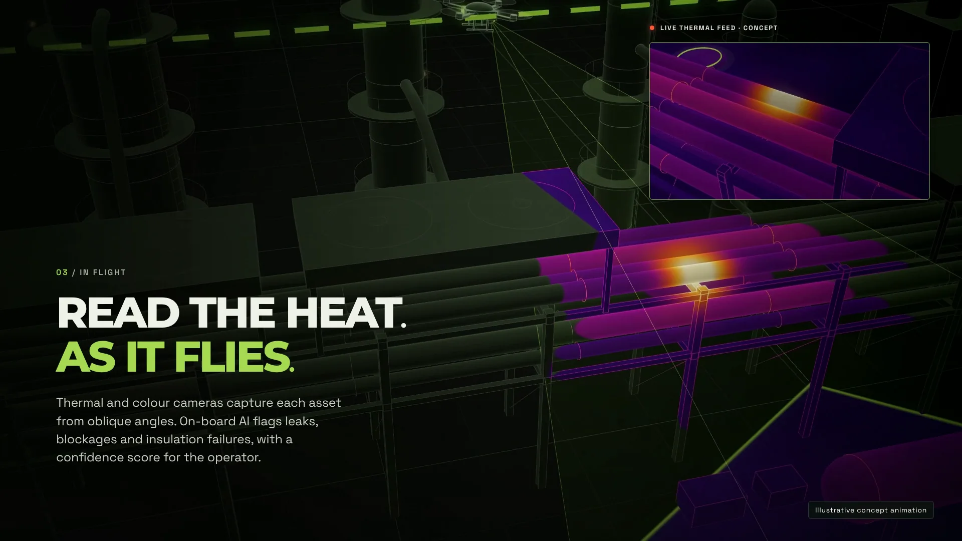
An illustrative vision for industrial safety: aerial inspection, thermal observations and coordinated ground support. Research concepts and prototypes in development.
Read the film description
A drone moves through an industrial site, with concept overlays showing thermal inspection of pipework. A ground robot supports a closer look, while a control view brings observations together for an operator. The sequence closes on OW’s vision for coordinated inspection. The animation illustrates a proposed workflow; it does not record a real deployment or validate detection performance.
Explore the original concept film and the research methods behind sensing, navigation and cooperation. The film imagines an industrial-safety workflow; the schematics below explain the separate, published SAPIENCE search-and-rescue research.
Sense. Navigate.
Work together.
Choose a layer to explore the methods behind the cooperative search-and-rescue research.
Build a picture of the unknown.
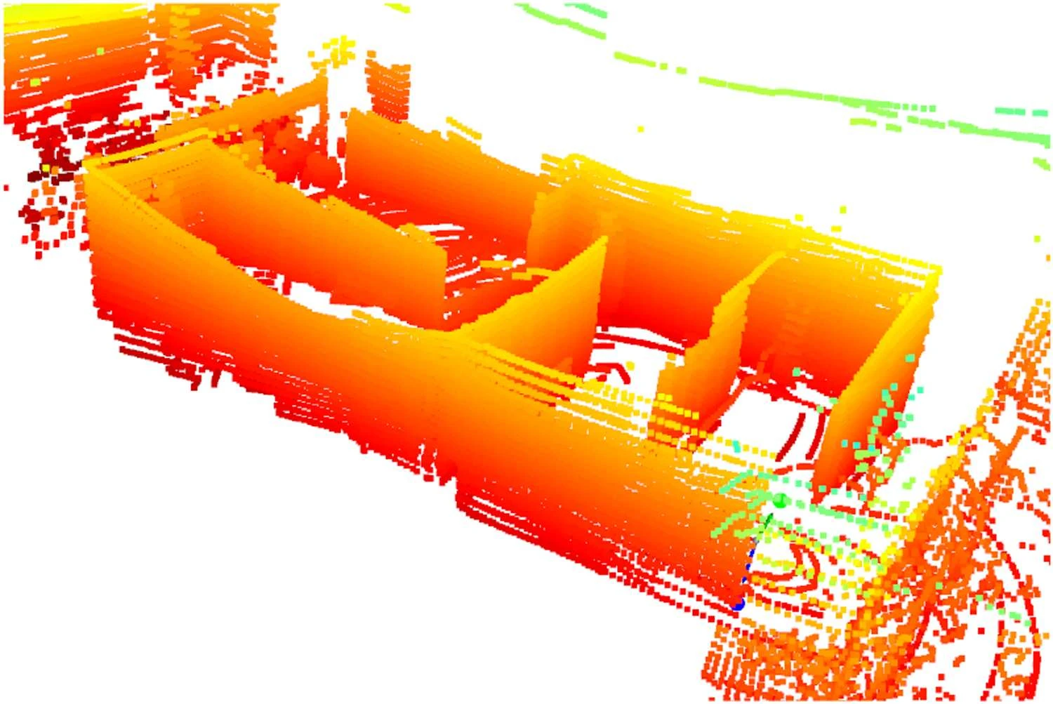
LiDAR maps the surroundings. Depth-camera and inertial measurements help stabilise altitude, supporting flight inside buildings where satellite positioning is unavailable.
Explore the published method SAPIENCE research · Journal of Field Robotics, 2026Two drones. A shared mission.
A graph-based allocation method matches drones to tasks. The two-drone research system combines cooperative mapping, navigation and delivery within a shared search-and-rescue mission.
Explore the published method SAPIENCE research · Journal of Field Robotics, 2026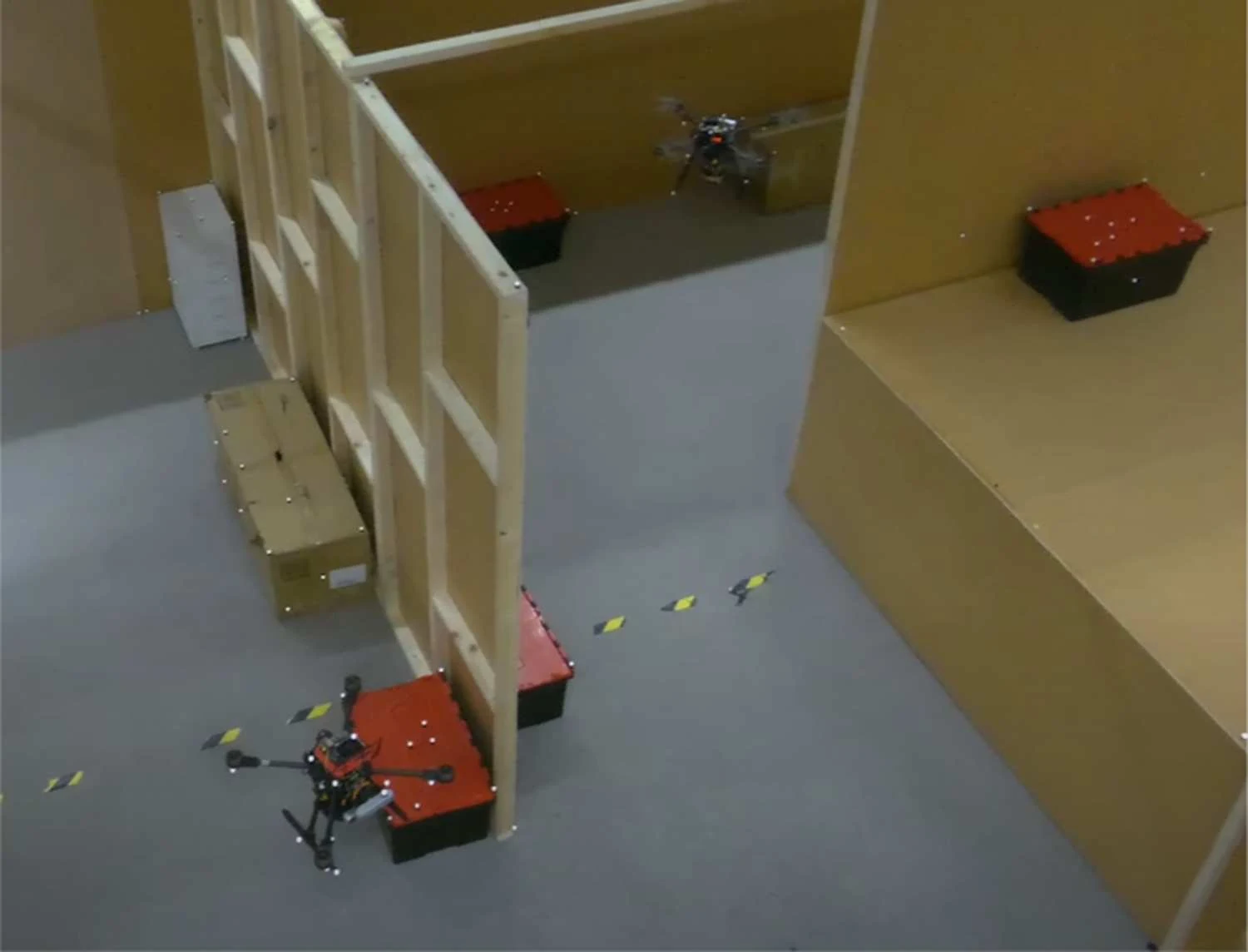
From an idea
to a closer look.
Follow the interactive industrial-safety story, visit the City lab and meet the original OW hardware.